

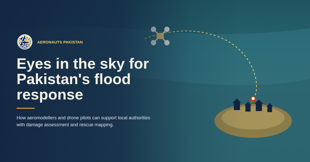
Eyes in the Sky: How Aeromodellers and Drone Pilots Can Support Pakistan’s Flood Response
Meta description: Aeronauts Pakistan is calling on RC plane and drone pilots to help local authorities assess flood damage, map access routes, and locate stranded communities.
Every flood season, the hardest problem for local authorities isn’t a lack of will — it’s a lack of visibility. Roads are cut, phone networks go down, and ground teams can only reach a fraction of the affected area in the first critical hours. Meanwhile, RC plane and drone pilots across Pakistan already have the skills, aircraft, and local knowledge to help close that gap — safely, and fast.
Aeronauts Pakistan is building a volunteer network of aeromodellers and drone operators who can support district authorities and rescue services during flooding, by getting an accurate aerial picture of affected areas into the right hands quickly.
Why aerial support matters
A drone or RC plane can survey a submerged district in the time it takes a boat to cross a single flooded channel. Flown in coordination with district administrations, Provincial Disaster Management Authorities (PDMAs), and rescue services, they turn “we think the water reached here” into a verified map — the kind of information that decides where trucks, boats, and medical teams go first.
Where pilots can help
Aerial damage assessment. Systematic passes over affected villages and farmland give authorities imagery to judge the real scale of damage, without waiting for a ground team to physically arrive.
Access and route mapping. Spotting washed-out roads and collapsed bridges before a relief convoy gets there means teams don’t find out the hard way that a route is impassable.
Locating stranded people. Rooftops, embankments, and high ground can be covered far faster from the air than by boat or on foot, giving rescue crews exact locations to follow up on.
Needs triage. Comparing imagery across several settlements lets responders rank which areas need water, food, or medical support first — instead of guessing.
How a mission runs
- Check in with local authorities. Contact the district disaster management office or on-ground rescue coordinator before any flight. Confirm the area, the timing, and what they actually need to see.
- Plan the flight path. Lay out a grid or route over the priority zone, staying well clear of any manned helicopter or rescue aircraft operating in the area.
- Capture imagery systematically. Fly at a consistent altitude with enough overlap that photos or video can be stitched into a usable map, not just scattered clips.
- Turn it into a quick report. Mark flooded roads, damaged structures, and people or livestock in need of rescue on a simple annotated map — clear enough for a responder to act on in minutes.
- Hand it to the responders. Deliver the report directly to the coordinating authority and stay reachable in case they need a follow-up flight over a specific spot.
Fly safe, fly coordinated
Volunteering an aircraft doesn’t mean flying it however you like. A few ground rules keep everyone safe and keep the response effective:
- Always operate under the local authority’s direction and airspace guidance.
- Never fly near manned rescue helicopters or boats.
- Respect the privacy and dignity of affected families — imagery is for assessment, not for public sharing without permission.
Join the network
If you’re an aeromodeller or drone pilot in Pakistan and want to put your skills toward flood-season response, Aeronauts Pakistan is coordinating volunteers across the country. Get in touch to be added to the response network for your area.
— Aeronauts Pakistan (aeronauts.pk)